Log in
All resources
Create a design
34,149 Free Images of 1768 Maps
maps in the library of congress
pennsylvania
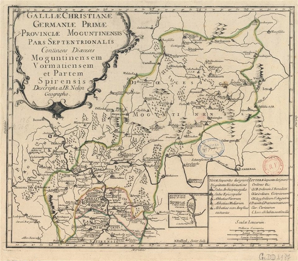
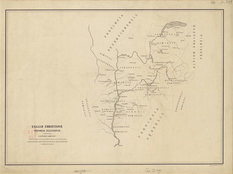
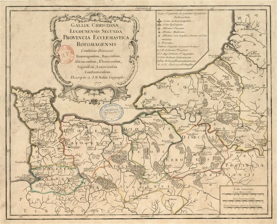
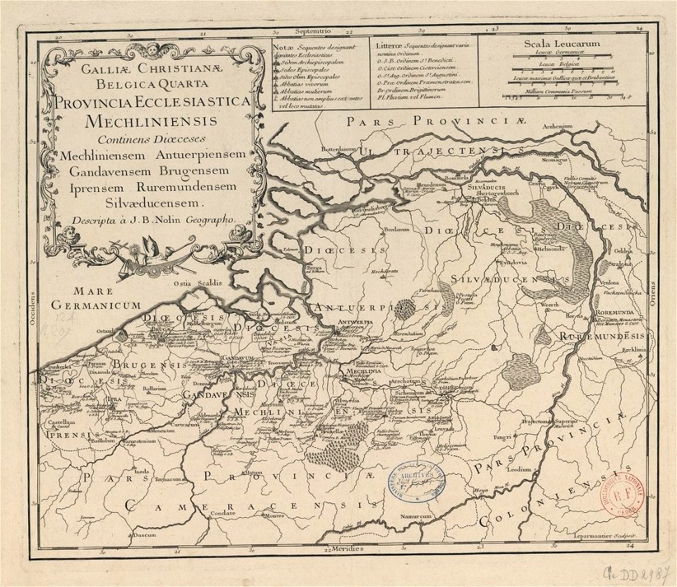
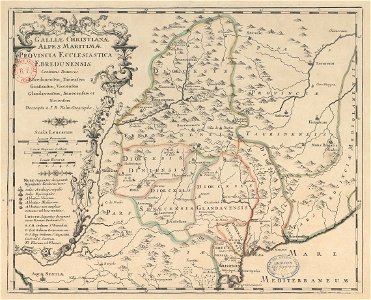
maps of catholic dioceses of france
old maps published in the gallia christiana
atlas de wit 1698
atlante veneto (raremaps.com) volume 2
charts and maps of the royal museums greenwich
1897 maps of allegheny county
fonds ancely - bibliothèque municipale de toulouse - maps
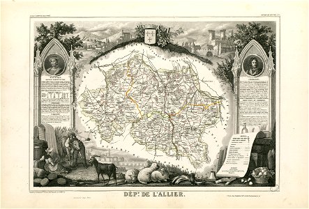
victor levasseur - maps of france
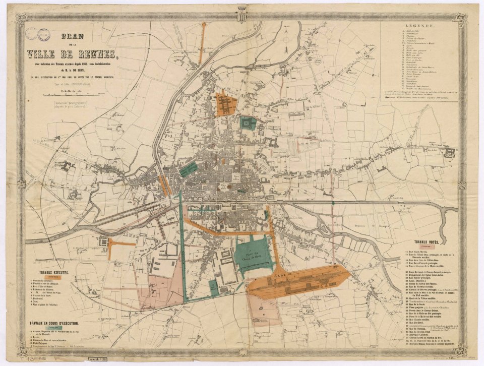
1861 in bretagne
1861 maps
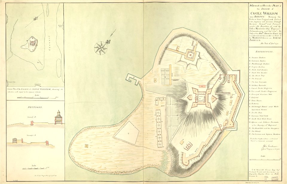
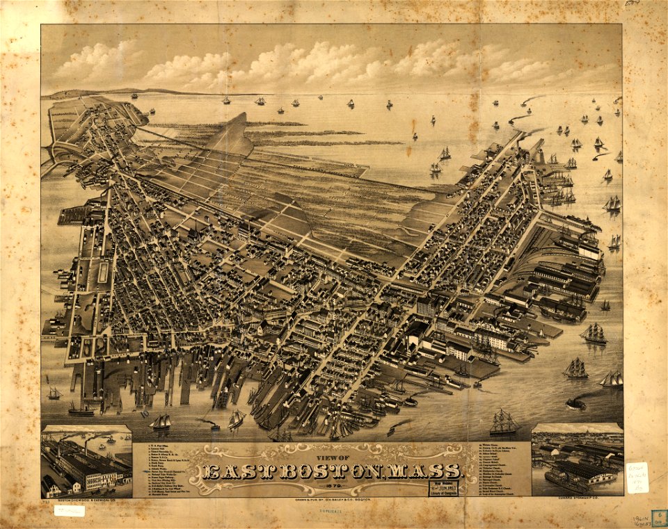
fort independence (massachusetts)
maps in the library of congress
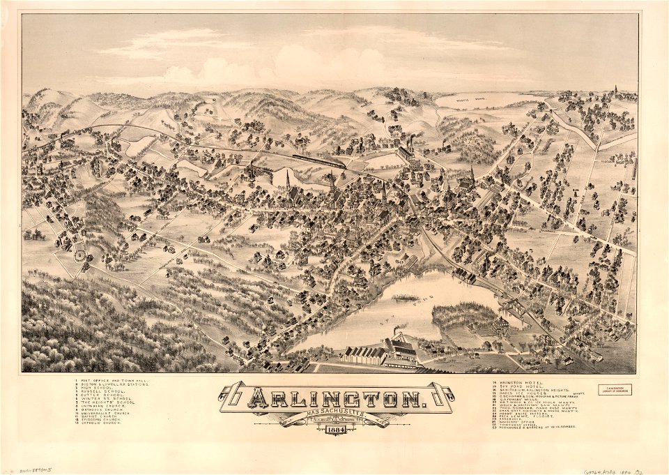
massachusetts
o. h. bailey
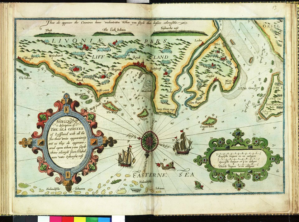
lucas janszoon waghenaer
1588 maps
lucas janszoon waghenaer
1588 maps
maps and topographical views by joris hoefnagel
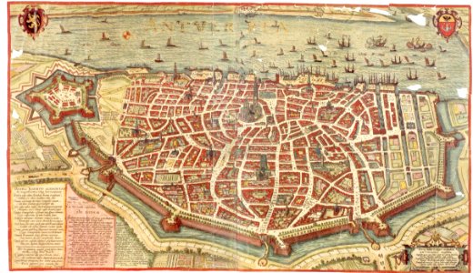
maps of antwerp
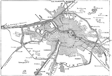
19th-century maps of berlin
maps by brockhaus
atlante veneto (raremaps.com) volume 2
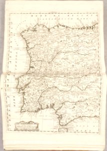
old maps of portugal
atlante veneto (raremaps.com) volume 2
old maps of france
atlante veneto (raremaps.com) volume 2
maps of milan
atlante veneto (raremaps.com) volume 2
old maps of louisiana
atlante veneto (raremaps.com) volume 2
old maps of russia
atlante veneto (raremaps.com) volume 2
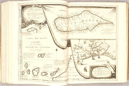
canary islands
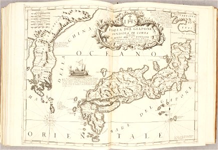
old maps of japan
old maps of korea
atlante veneto (raremaps.com) volume 2
old maps of poland
atlas van der hagen (volume 2)
maps with cartouches
maps of arras city walls
old maps of arras
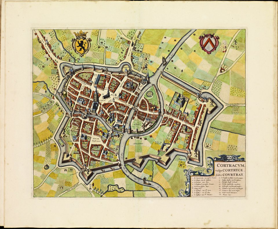
old maps of kortrijk
atlas de wit 1698
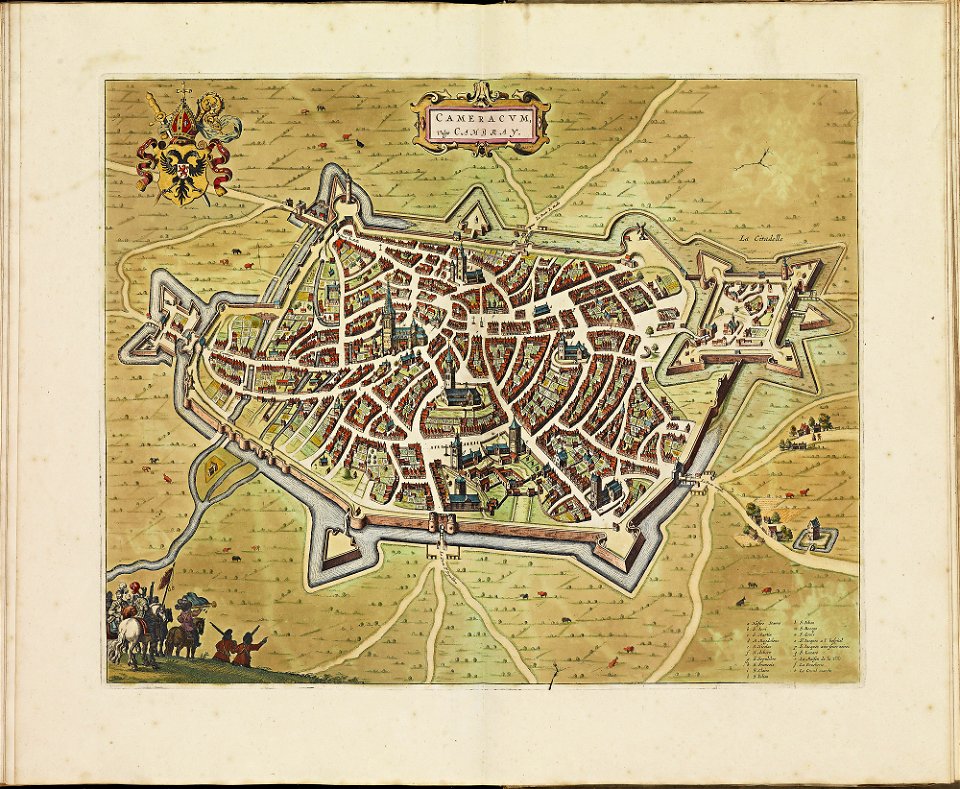
old maps of cambrai
atlas de wit 1698
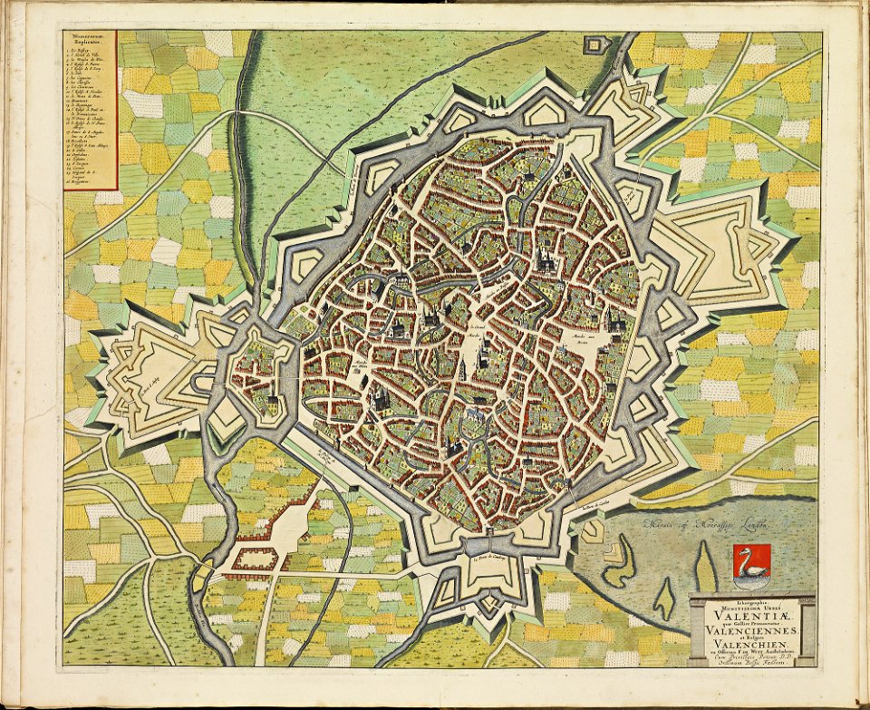
maps of valenciennes city walls
atlas de wit 1698
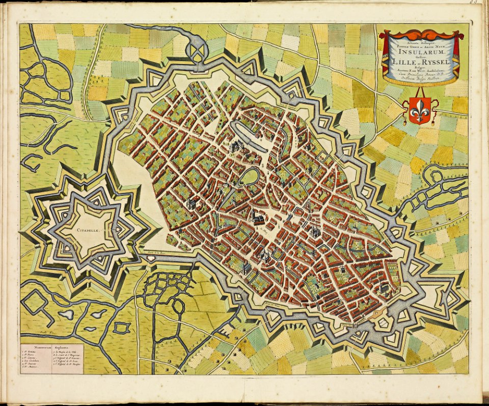
maps of lille city walls
atlas de wit 1698
latin-language maps
1630 maps
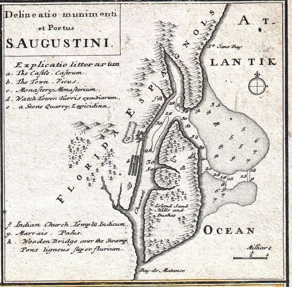
florida
1730s
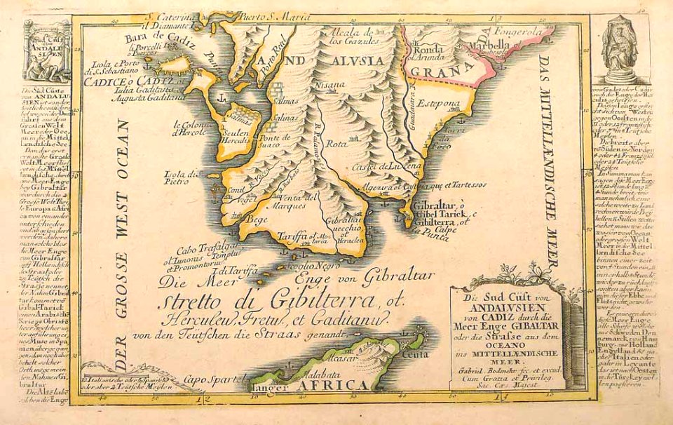
history of andalusia
gabriel bodenehr
dutch-language maps
johannes ratelband
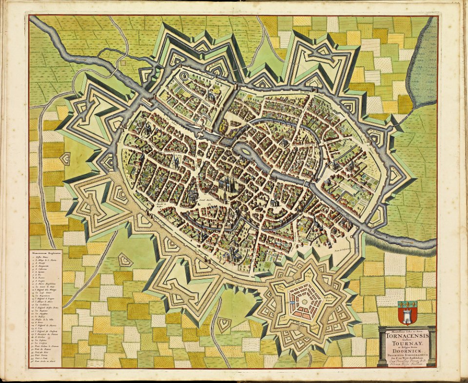
maps of tournai city walls
old maps of tournai
maps of hesdin city walls
old maps of hesdin
maps of veurne city walls
atlas de wit 1698
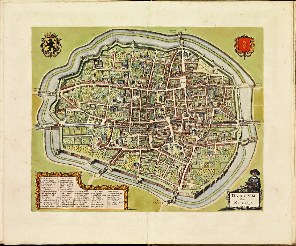
maps of douai city walls
atlas de wit 1698
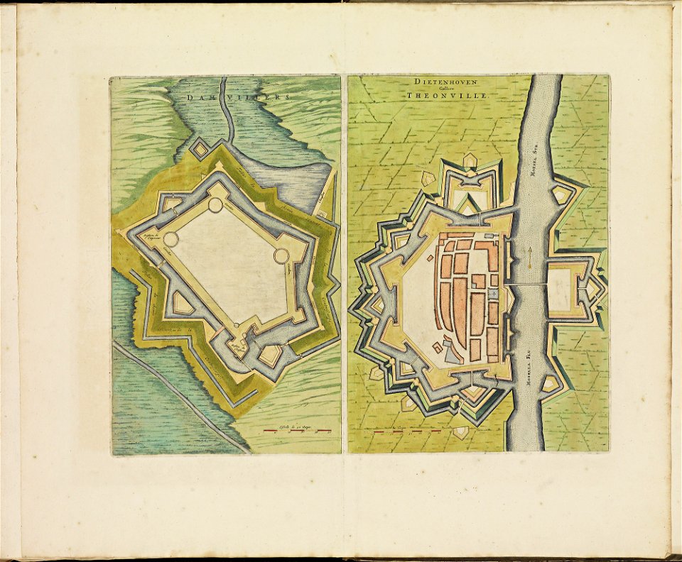
maps of thionville city walls
atlas de wit 1698
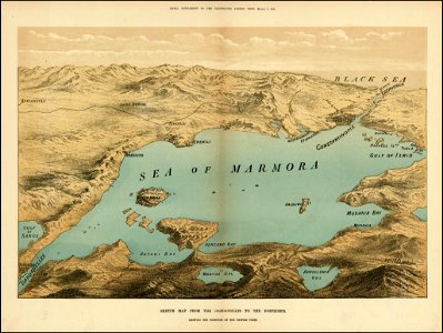
the illustrated london news 1878
maps of the sea of marmara
hill of tara
1879 maps
pennsylvania
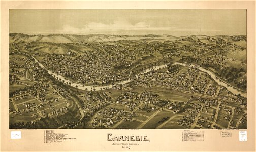
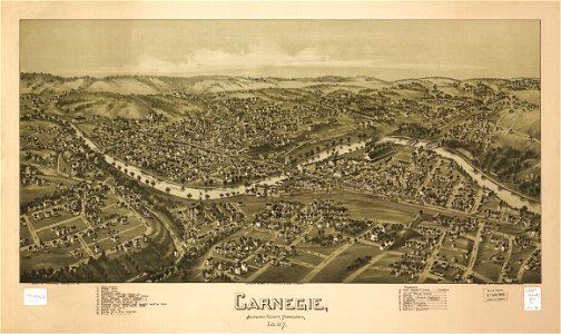
carnegie
pennsylvania
carnegie
maps by pieter pourbus
1570s maps
pennsylvania
duquesne
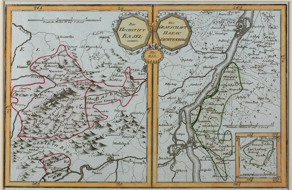
1680s maps of baden-württemberg
1681 maps
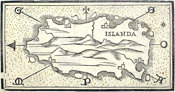
provided by landsbókasafn íslands
maps by giacomo gastaldi
provided by landsbókasafn íslands
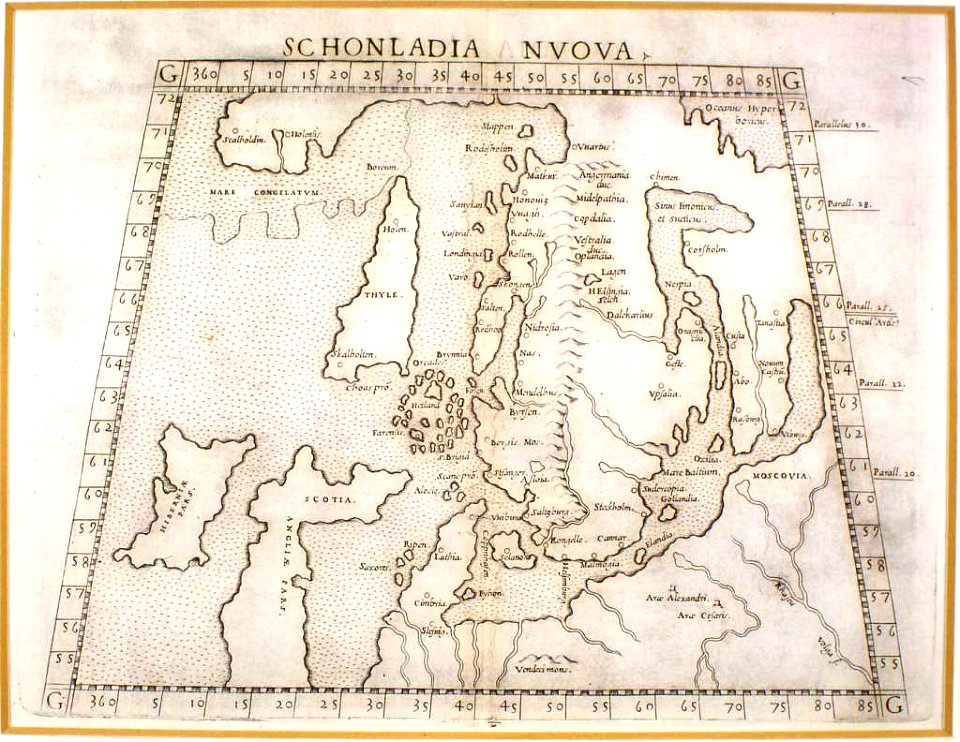
16th-century maps of iceland
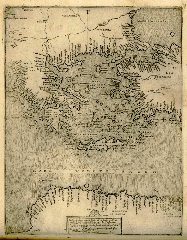
old maps of greece
giovanni camocio
description de l'universe
old maps of the nile
maps in the stadsarchief amsterdam
old maps of amsterdam
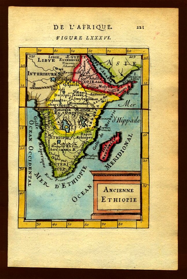
17th-century maps of ethiopia
description de l'universe
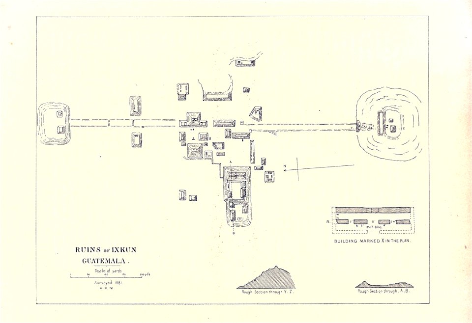
maps of the mayas
1899 books
maps in the library of congress
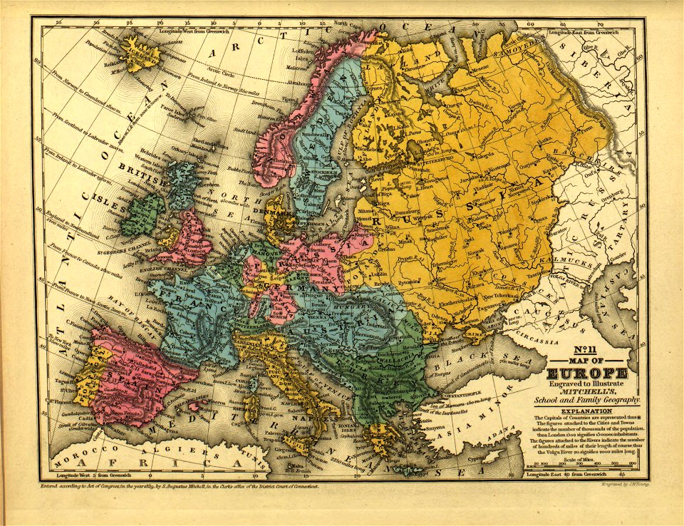
mitchell's school atlas
maps in the library of congress
mitchell's school atlas
maps in the library of congress
o. h. bailey
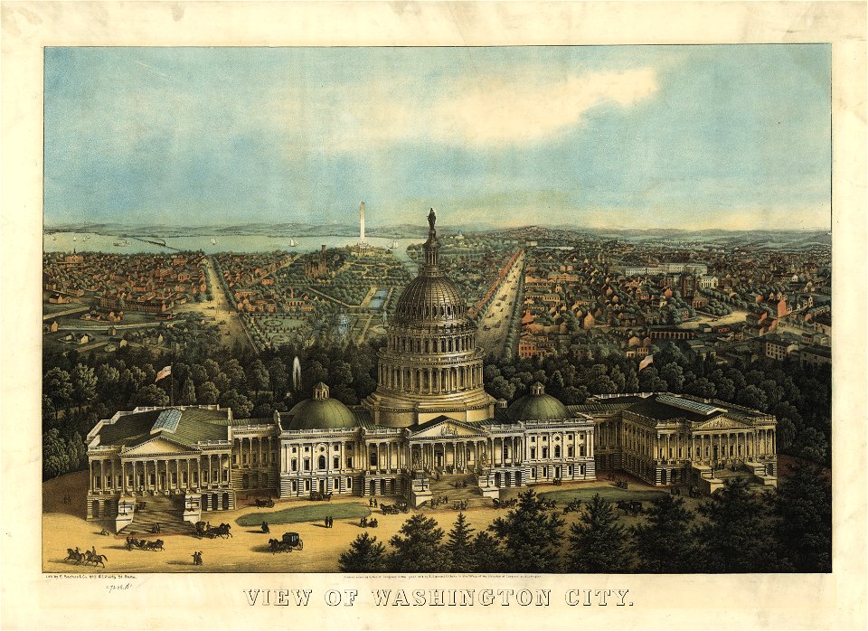
maps in the library of congress
o. h. bailey
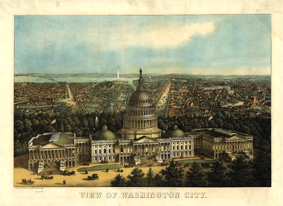
maps in the library of congress
united states capitol in art
maps in the library of congress
united states capitol in art
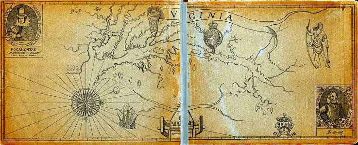
old maps of virginia
captain john smith
geographical illustrations by coronelli
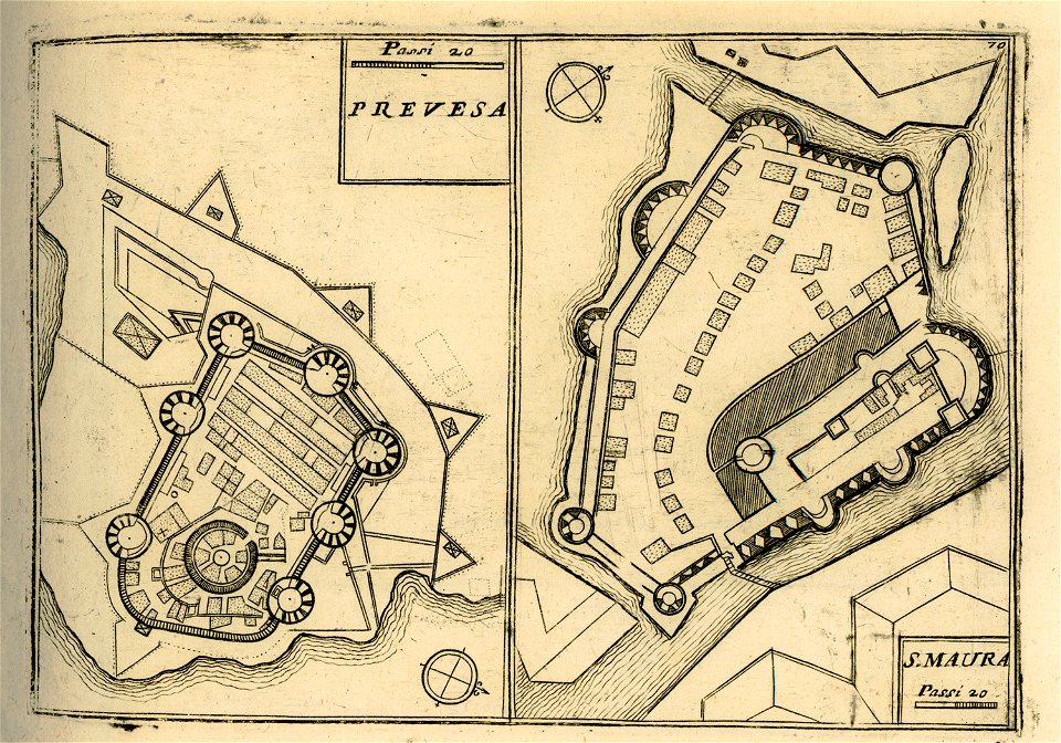
maps of lefkada
maps of paris by braun & hogenberg
maps of paris from paris musées
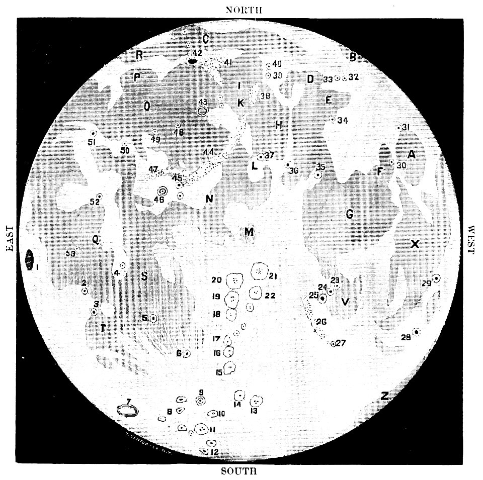
old maps of the moon
1887 maps
16th-century maps of the caribbean
theodor de bry
lucas janszoon waghenaer
1588 maps
lincolnshire
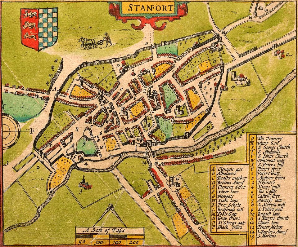
stamford
pennsylvania
sheffield
pennsylvania
sheffield
provided by landsbókasafn íslands
maps by giacomo gastaldi
charts and maps of the royal museums greenwich
1682 maps
atlas of the russian empire (1800)
maps of volyn governorate
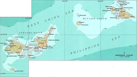
national atlas maps of occupied ryukyu islands
maps of sakishima islands
old maps of islands of the aegean sea
giuseppe rosaccio
maps by willem and johannes blaeu
atlas van loon
maps of paris by braun & hogenberg
maps of paris from paris musées
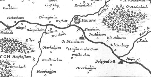
offenbach-bieber
maps of hanau
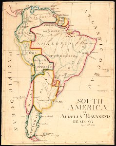
aurelia townsend herrick
1831 maps
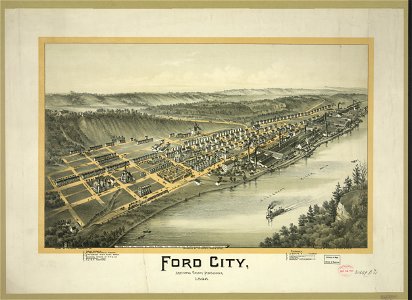
pennsylvania
ford city
maps by willem and johannes blaeu
atlas van loon
maps in the library of congress
pennsylvania
historical images of solothurn
old maps of switzerland
maps in the library of congress
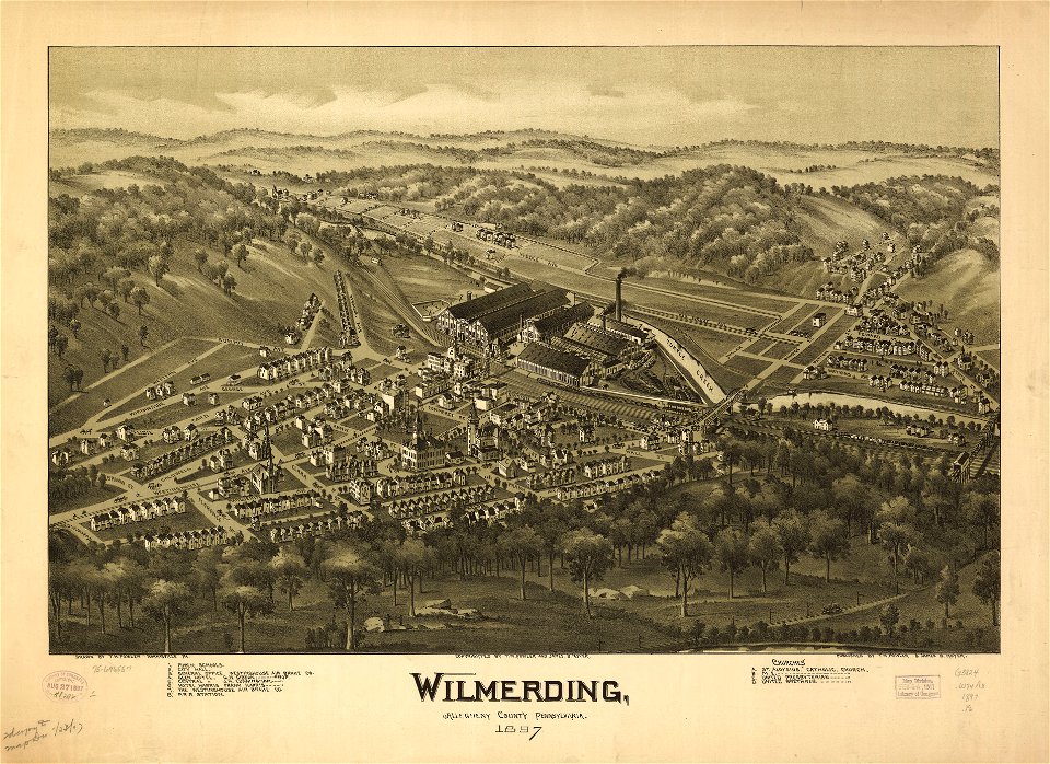
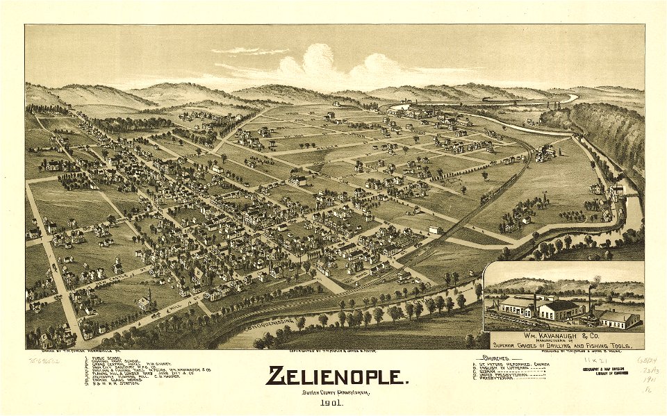
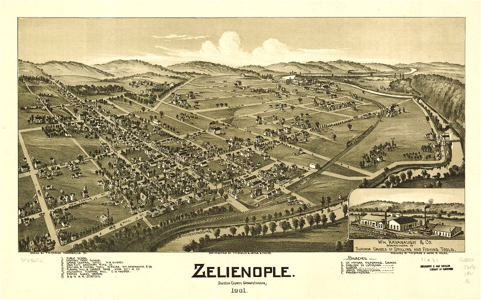
pennsylvania
maps in the library of congress
pennsylvania
pennsylvania
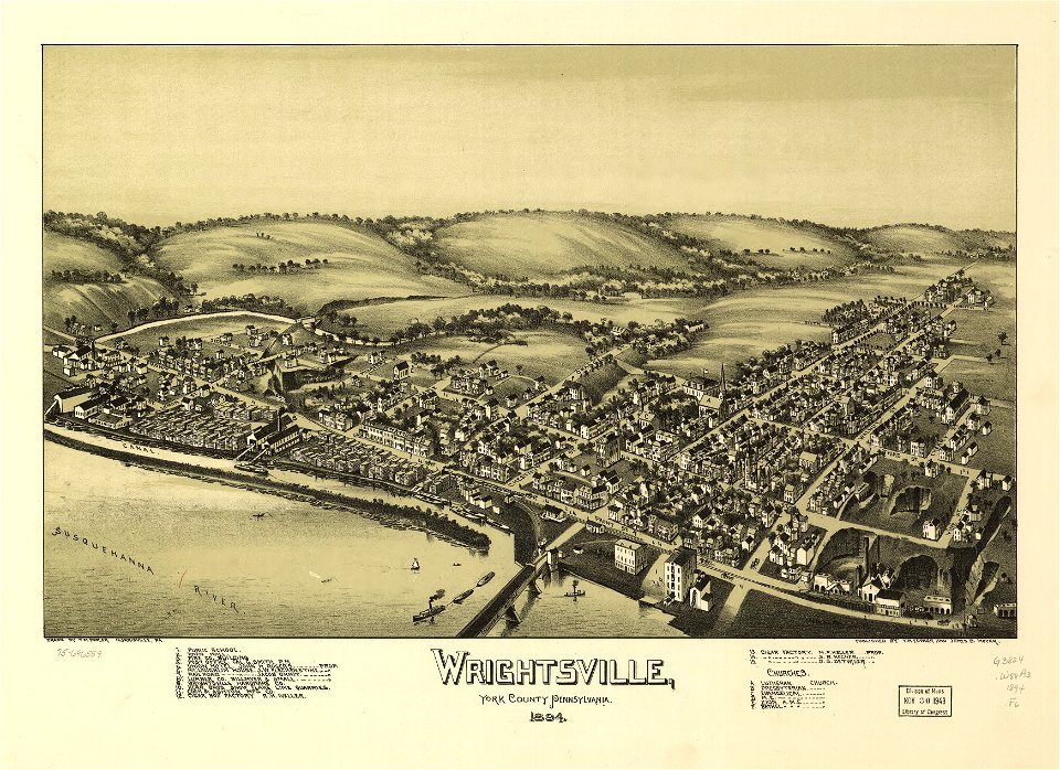
wrightsville
pennsylvania
wrightsville
windmills in stockholm
maps of östermalm
old maps published in the gallia christiana
maps of catholic dioceses of france
old maps published in the gallia christiana
maps of catholic dioceses of france
old maps published in the gallia christiana
maps of catholic dioceses of france
old maps published in the gallia christiana
maps of catholic dioceses of france
old maps published in the gallia christiana
maps of catholic dioceses of france
old maps published in the gallia christiana
maps of catholic dioceses of france
old maps published in the gallia christiana
maps of catholic dioceses of france
old maps published in the gallia christiana
maps of catholic dioceses of france
old maps published in the gallia christiana
maps of catholic dioceses of france
old maps published in the gallia christiana
maps of catholic dioceses of france
old maps published in the gallia christiana
maps of catholic dioceses of france
18th-century oil portraits of sitting women at half length
portraits with letters
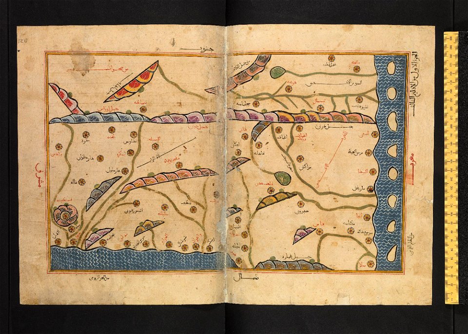
atlantis magni tomus quintus (biblioteca comunale di trento)
maps made in the 18th century
fonds ancely - bibliothèque municipale de toulouse - maps
coats of arms of cities in allier
fonds ancely - bibliothèque municipale de toulouse - maps
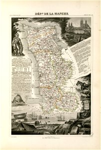
coats of arms of cities in manche
coats of arms of cities in eure
old maps of eure
fonds ancely - bibliothèque municipale de toulouse - maps
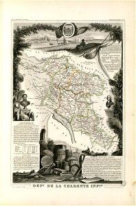
victor levasseur - maps of france
old maps of algeria
bodleian library
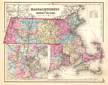
maps by joseph hutchins colton
1857 maps of massachusetts
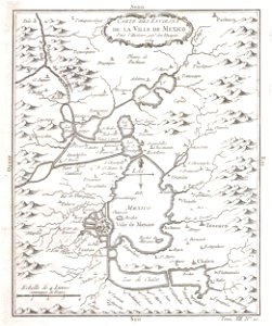
old maps of mexico
mexico
maps made in the 17th century
maps by pieter schenk (i)
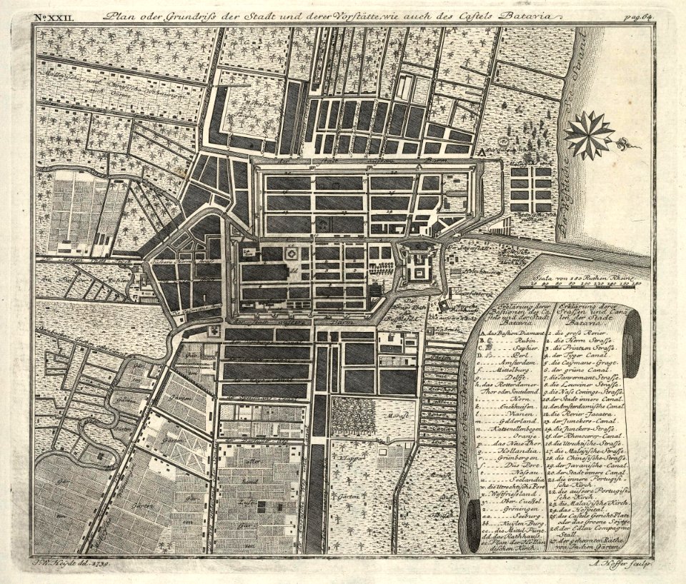
kota tua
batavia
maps by pieter schenk (i)
gerard valck
4001 - 4100 of 34,149
Next page
/ 342